
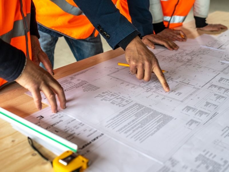
A multifamily plan can look finished on paper and still fall apart at the counter. The reason is usually land entitlements. These are the approvals, conditions and rules that decide what you can actually build on a parcel. When developers treat entitlements as a late checkbox, they end up redrawing the whole site. Read the conditions early and you keep control of the layout, the unit count and the budget.
How Entitlement Conditions Can Change the Developable Area
Not every square foot of a parcel is usable. Land entitlements often carve out big pieces before design even starts. A zoning approval might come with conditions attached. An overlay district can add extra rules on top of the base zoning. Wetland buffers, utility easements and drainage areas take land off the table too.
Environmental limits matter just as much. A protected wetland, a flood zone or a steep slope can shrink the buildable core fast. Agencies can also require setbacks from creeks or conservation areas. Add these up and the developable area can drop well below the gross parcel size. That gap decides how many units really fit.
Map the limits before you place a single building
Good teams map every constraint first. They plot easements, buffers and flood lines on the survey before drawing pads. This shows the true buildable shape early. The building footprints then get placed inside that shape, not on top of a problem. Skipping this step is how a plan gets rejected or redrawn.
Why Access and Street Requirements Can Shift the Entire Site Layout
Access is where many multifamily plans get stuck. A driveway cannot go just anywhere. State and local rules set how far apart driveways must sit. They also set sight-distance needs so drivers can see traffic clearly. Shared site access may also be considered when adjoining properties use the same entrance or when agencies want to limit the number of driveways along a roadway. Miss these requirements and the entrance may have to move, which moves everything behind it.
Fire access adds another layer. Fire trucks need wide lanes and room to turn around. Some sites need a second entrance for safety. A required turn lane can eat into your frontage and your parking. Each of these can push buildings, drive aisles and parking fields into new spots.
Off-site work can surprise you too. An agency might require road widening or a new sidewalk before approval. Those street improvements cost money and land. When access conditions land late, the internal layout often has to change. Check access early, well before the pads are set.
How Density, Setbacks, and Open-Space Rules Affect Unit Planning
The code sets a density limit, but reaching it is not automatic. Zoning may allow a certain number of units per acre. Getting there is a different story once every rule applies. Setbacks push buildings inward from each property line. Landscape buffers, open space and recreation areas claim more ground.
Open-space minimums are easy to underestimate. Many codes require a set share of the site to stay green or usable for residents. Parking counts also compete for the same land. When you stack setbacks, buffers and parking together, the real unit count often drops. The target on the pro forma may not survive the site plan.
This is where a civil engineer earns the fee. They run a quick yield test against all the rules at once. That test shows if the density pencils out before you spend on full design. If it does not fit, you learn early and adjust. Trimming units on paper beats redrawing after submission.
Utility and Stormwater Conditions That Can Reorganize the Plan
Utilities decide more of the layout than most owners expect. Water and sewer lines have to reach the site from somewhere. If the nearest connection sits far away, you may pay for an off-site extension. Easements for those lines cut across the parcel and limit building spots. A plan that ignores this can hit a wall late.
Stormwater needs its own room
Stormwater is often the biggest land user on a multifamily site. Rules usually require a place to hold and slow runoff. That detention area needs real space, and it shapes the grading plan. If it gets added at the end, buildings and parking get squeezed to make room. Planning the pond footprint early keeps the rest of the plan stable.
Grading ties it all together. Utility depths, connection points and detention outfalls all affect how the land is shaped. Move one and the others often shift. Early coordination with the utility and permitting agencies avoids ugly surprises. That is far cheaper than redrawing a nearly finished layout.
Why Entitlement Review Should Happen Before Formal Submittal
The best time to find a problem is before you submit. Once a full civil package is in review, changes get slow and costly. A pre-application meeting lets you hear likely agency comments up front. Planners will often flag the big issues in that first talk. You can fix them while the plan is still easy to move.
An entitlement matrix keeps everyone honest. It lists every rule, condition and approval the site must meet. The team checks the design against that list before submittal. Concept reviews add another safety net by testing the idea early. Together these steps catch the constraints that would otherwise reshape the plan later.
Early coordination is not a delay. It protects the schedule and the unit count. Talk to the planners, the utility providers and the reviewing agencies before you lock the layout. Confirm the current codes and permit rules for your parcel, since they change and vary by place. A licensed civil engineer can lead this review and keep the design defensible.